A Look Ahead (and a Big Year on the Horizon)
Hey Green Crescent Trail friends,
Last weekend, our board gathered for a working retreat.
No speeches. No press releases. Just a room full of people asking hard questions about where the Green Crescent Trail goes next.
A few takeaways I wanted to share with you.
This work has grown bigger than individual trail segments.
We still care deeply about every connection. But much of our conversation focused on the bigger picture:
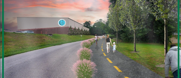
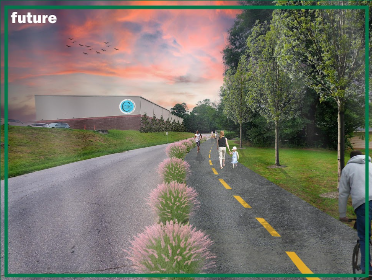
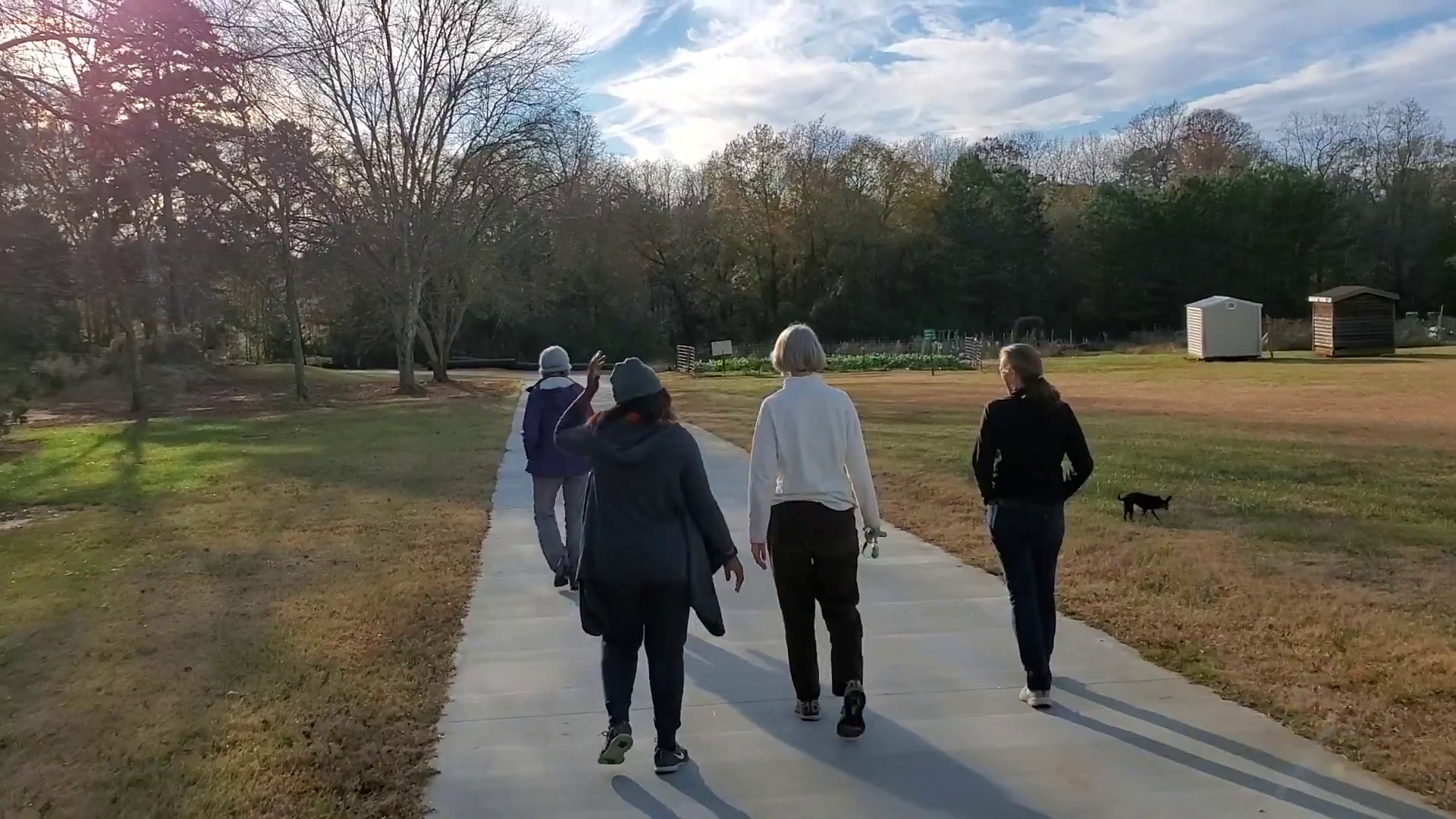
how walking and biking fit into the long-term health, safety, and livability of the Clemson, Central, and Pendleton communities.
That perspective is shaping our decisions more than ever.
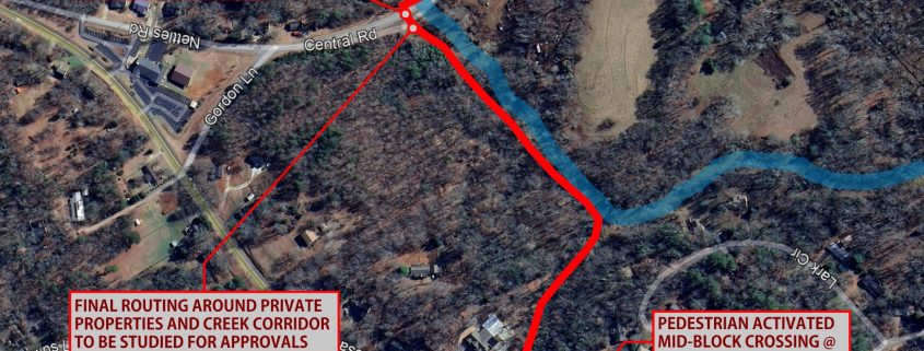
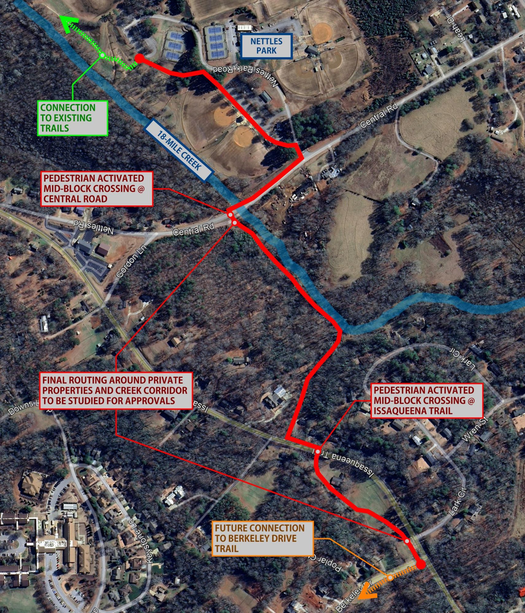
We’re narrowing our focus to unlock bigger impact.
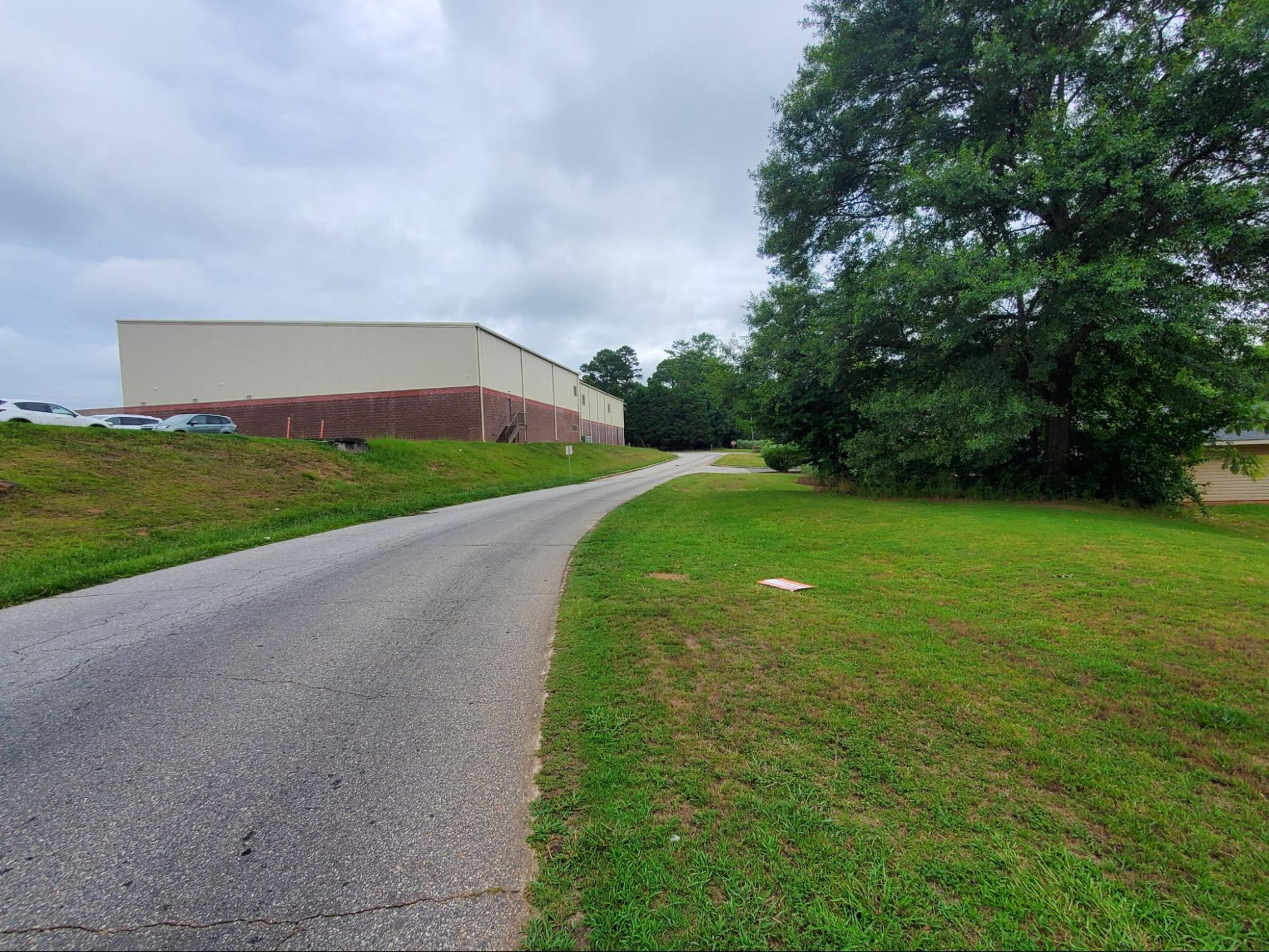
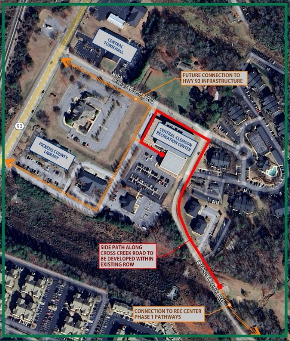
Instead of chasing every possible project, we’re concentrating on the segments that move the needle most. The ones that connect key destinations, improve safety in meaningful ways, and make everyday walking and biking more realistic for more people.
It’s one of the lessons we learned the hard way over the last 10 years!
We’ve been working on something big.
We spent a good portion of the retreat refining a long-range vision that puts real numbers and timelines around what “success” actually looks like for the Green Crescent. It’s ambitious, practical, and rooted in what we’ve learned over the past decade.
We’re not ready to roll it out publicly just yet, but be on the lookout soon!
And 2026 has real potential.
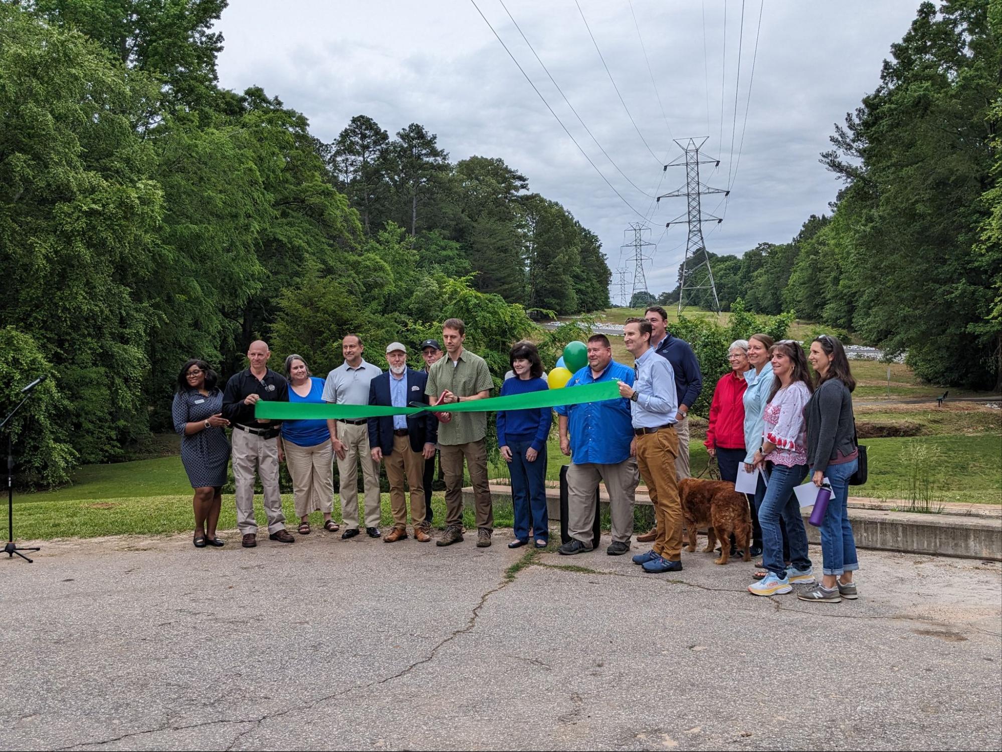
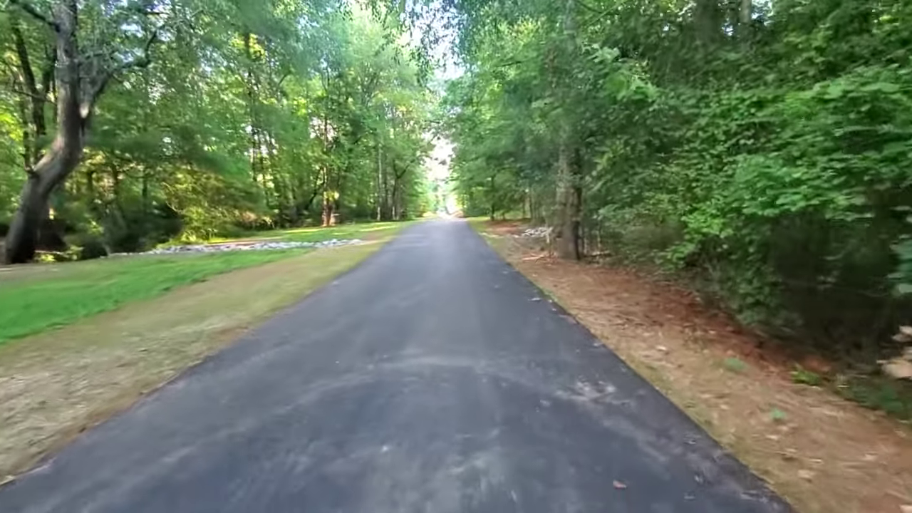
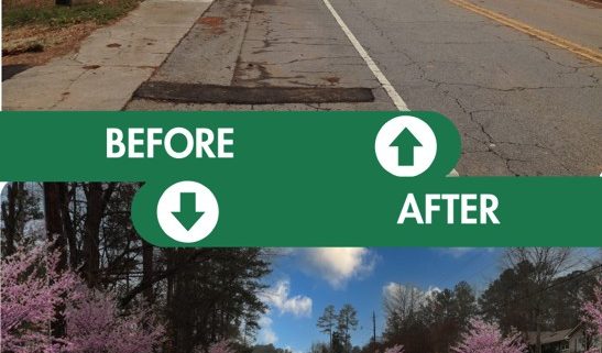
If a few key pieces fall into place, this year could be the single biggest year of actual trail construction in our 10+ year history. Not studies. Not plans. Concrete, asphalt, and new places to walk and ride.
That possibility came from years of groundwork, relationships, and persistence from everyone involved, including from our local government partners and from individual supporters like you.
Your support still matters. A lot.
As projects move closer to reality, public voices, local advocacy, and community buy-in become even more important. Progress at this stage is as much about people as it is about engineering.
We’ll share more soon. For now, I wanted you to know that the work continues, the direction is clear, and the next chapter in 2026 is shaping up to be an important one.
Thanks for being part of this journey,

Chad Carson
Founding Board Member
Friends of the Green Crescent