Grand Central Station: The Course Our Trail Runs Through
Last year I played disc golf for the first time, a surprisingly addictive sport where players throw flying discs through parks and forests toward basket-shaped targets.
It was a fun way to spend time with my wife and daughters while enjoying the outdoors and getting some exercise.
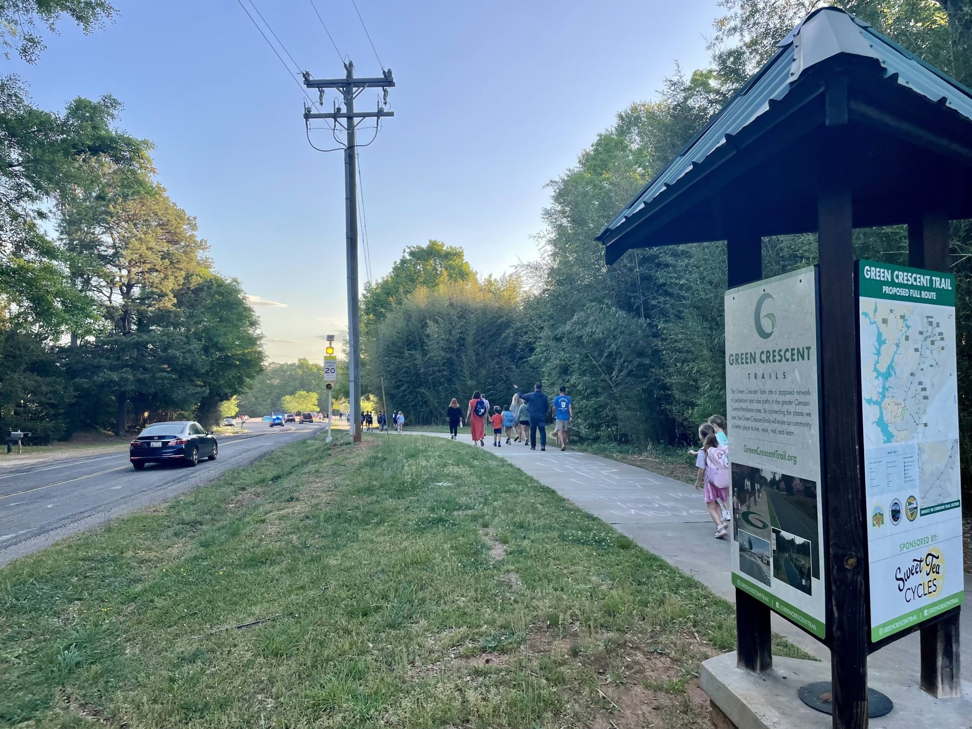
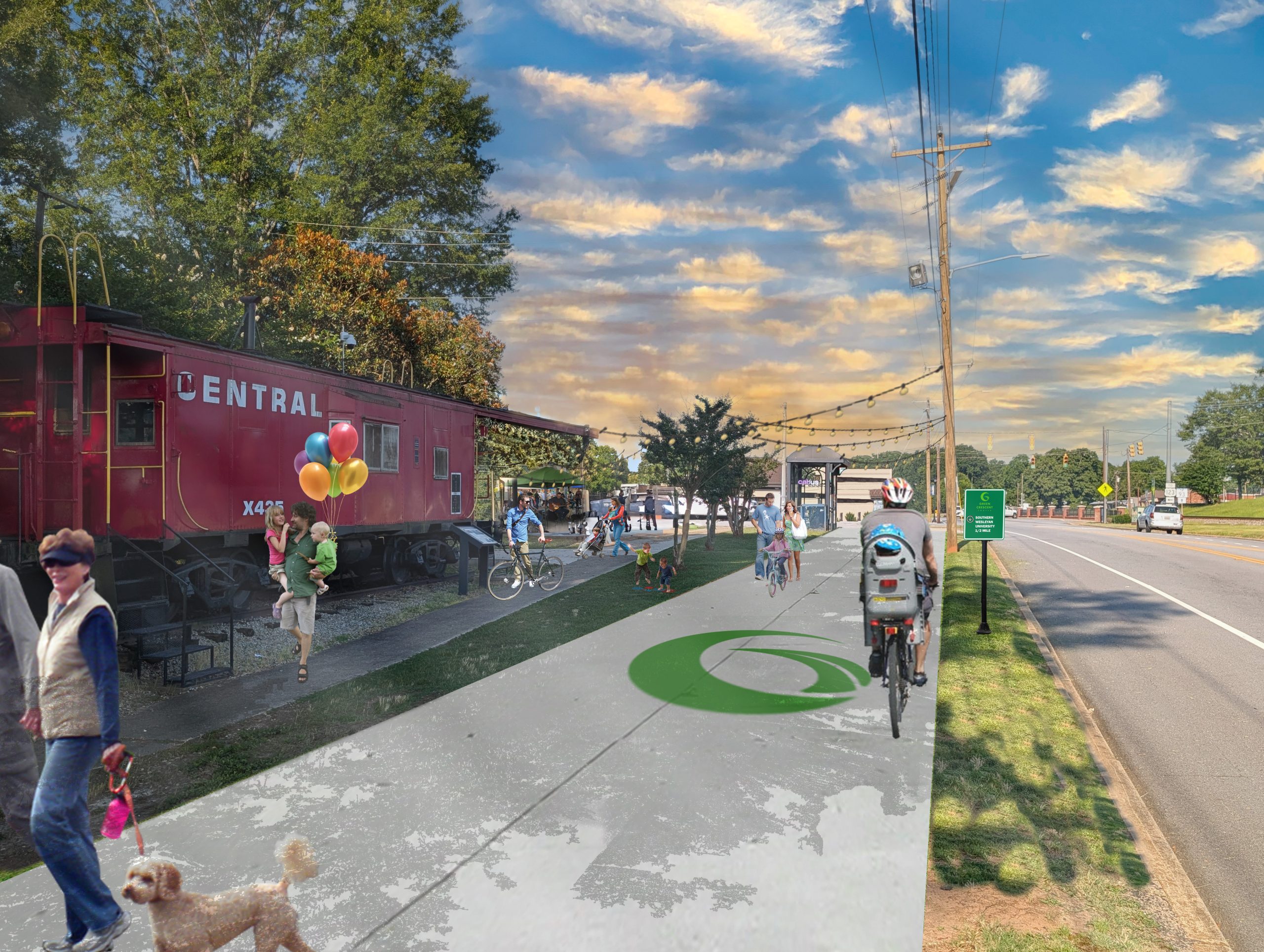
And my favorite part? We played locally in Central, at a nationally known course that’s also right along the Green Crescent Trail.
It’s called Grand Central Station.
A big deal, right in our backyard
Here is the part that still surprises me. This course is a big deal.
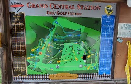
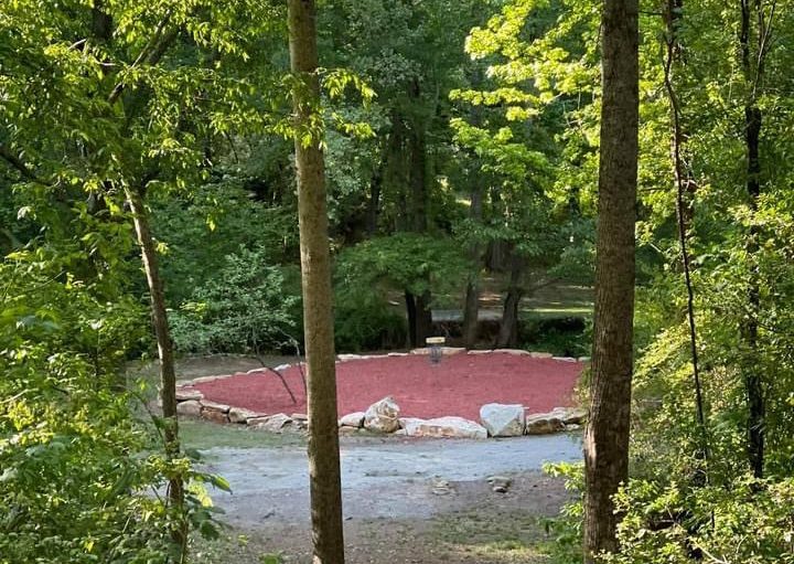
Grand Central Station opened in 2012, designed by Central resident Bryan Schaupp. It covers 35 acres, and for years it was the longest public disc golf course in South Carolina. Players drive in from across the Southeast to throw a round here.
It even has two layouts in one. The original Freight Line opened in 2012. A newer Locomotive Line adds tougher, more wooded holes for experienced players. The names tip a hat to Central’s railroad past, when the rail line was what connected this town to everywhere else.
And a lot of us drive right past it without knowing it exists.
A trail is only as good as where it takes you
We talk a lot about miles of trail. How many we have built. How many we want by 2030.
But miles are not really the point. The point is what those miles connect you to.
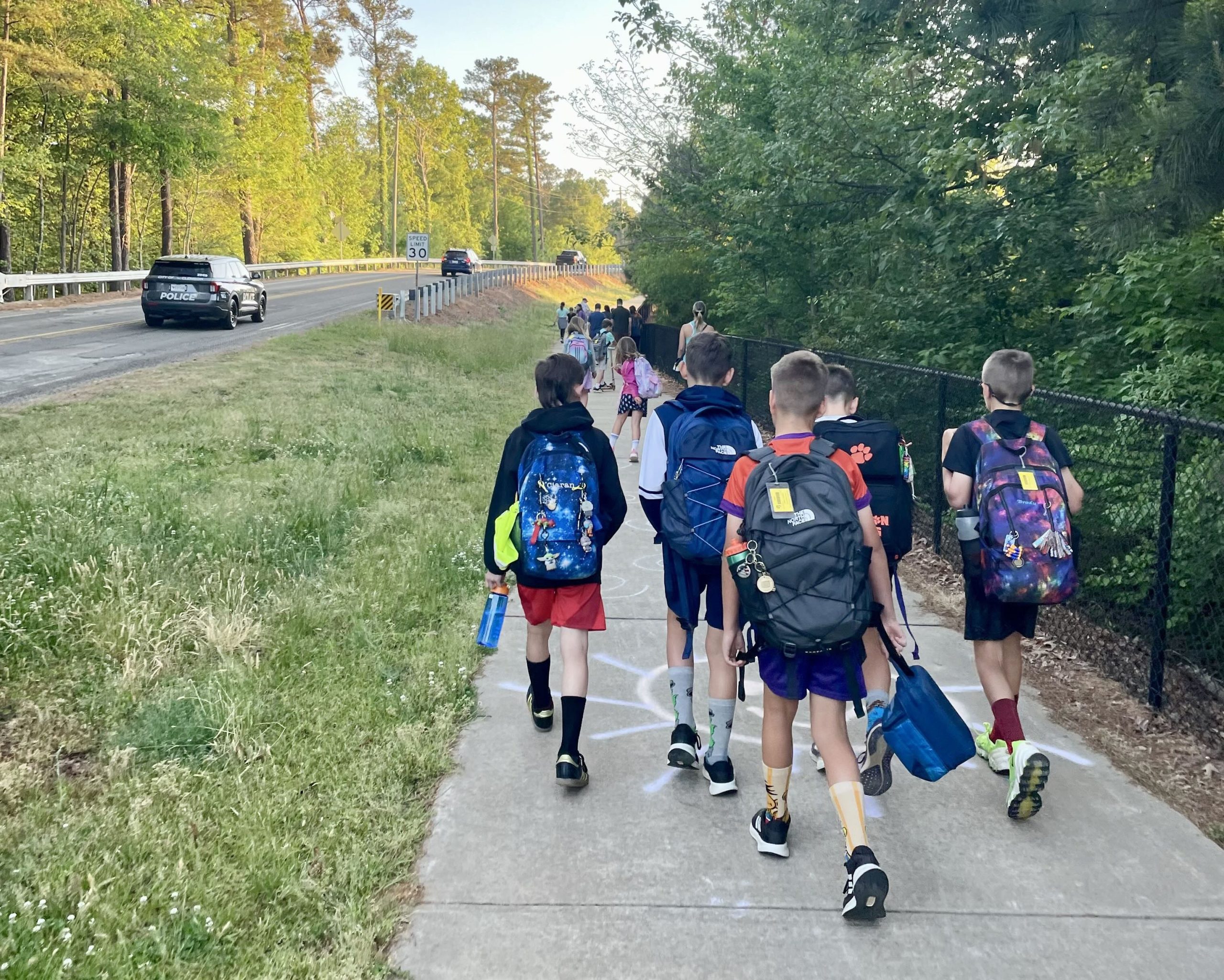
When I think about why the Green Crescent Trail matters, it is not the pavement. It is that the trail can carry you to places worth going. A park. A downtown. A creek. A nationally known disc golf course you did not know was five minutes from your house.
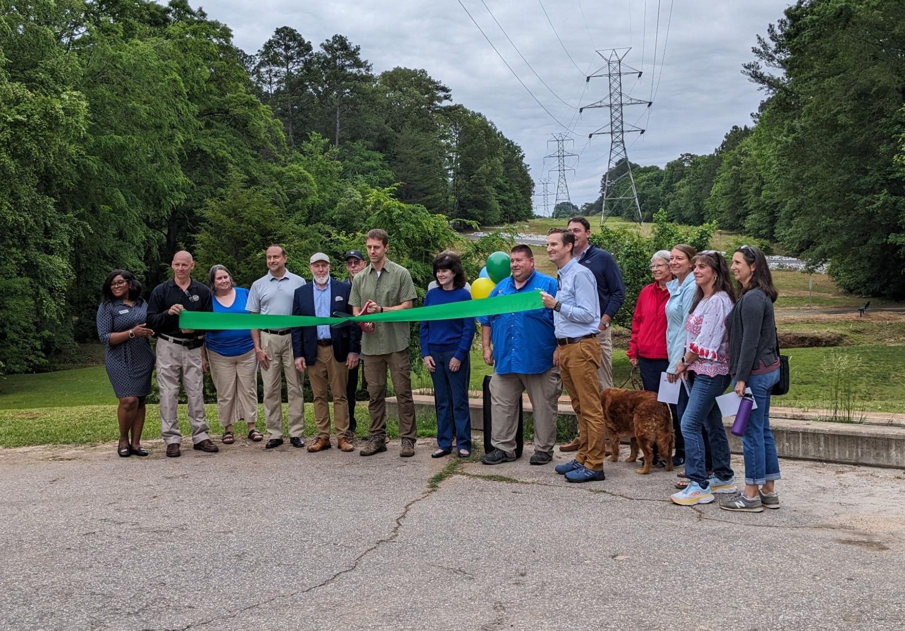
Grand Central Station is one of those places. And the first phase of our trail in Central runs right through it.
So someone out for a walk discovers a course they never knew about. And someone there to play notices a trail they want to come back and explore. The trail and the course are not competing for anyone’s afternoon. They are giving people more reasons to get outside.
What we are building toward
Right now, most people drive to Grand Central Station, park, and play. Most people use the trail that way too, at least for now.
That’s fine. It’s just where we are.
But as the network grows and connects more neighborhoods, that changes. Reaching a place like Grand Central Station on foot or by bike stops being a novelty and becomes an ordinary Saturday.
That is the whole idea. A region where the good stuff is close, connected, and easy to get to. Where a first round of disc golf with your kids is one more thing the trail quietly made possible.
Go play a round
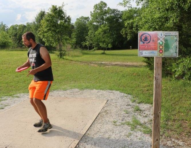
Grand Central Station Disc Golf Course is at 101 Ansleigh Drive in Central. It is open daily from 8:00 a.m. until sundown, except during tournaments and special events.
You do not need to know what you are doing. I sure didn’t. Bring your family, borrow some discs, and go see one of the best places in our community that you maybe never knew was there.