Why Central Has a 585-Foot ‘Random’ Trail

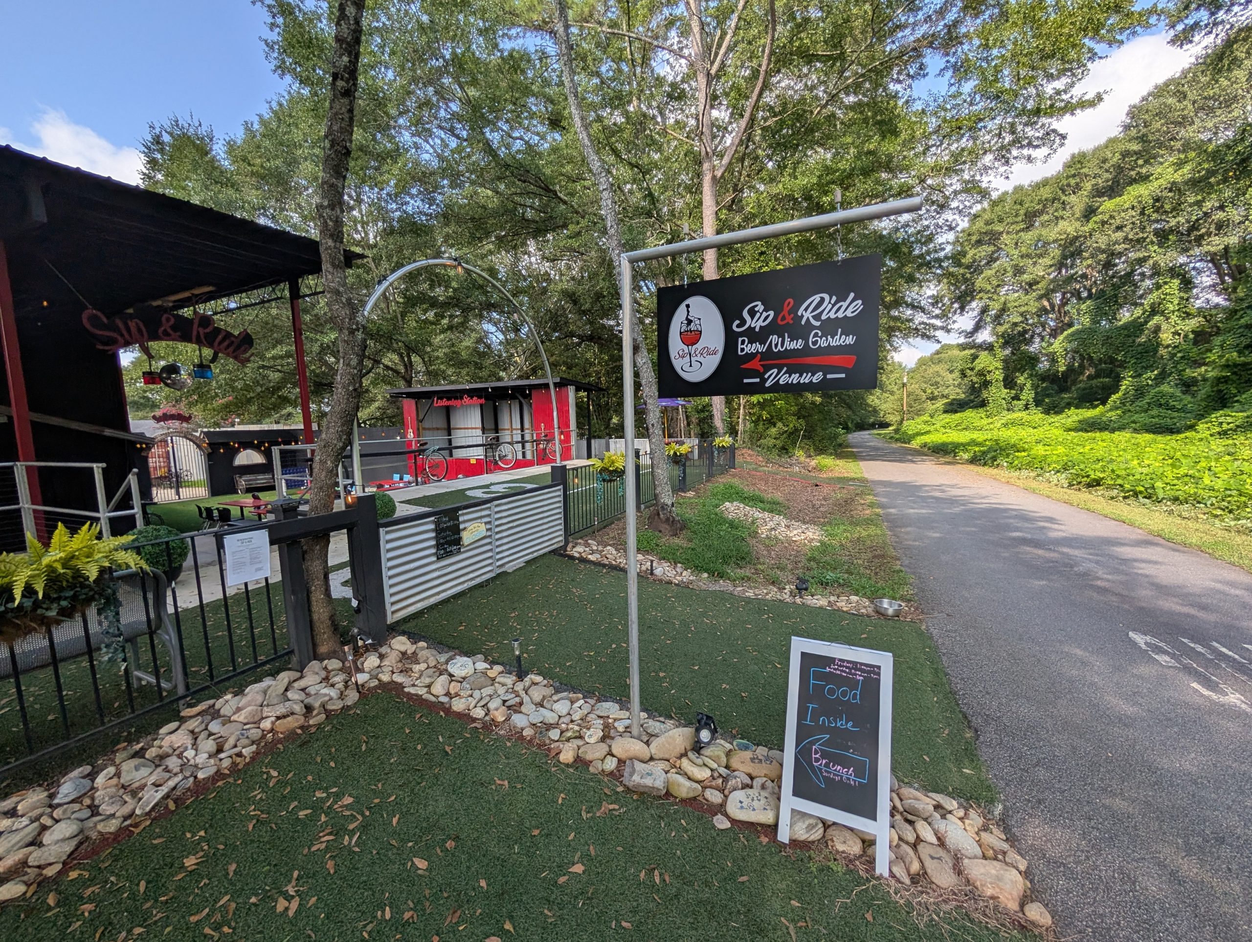
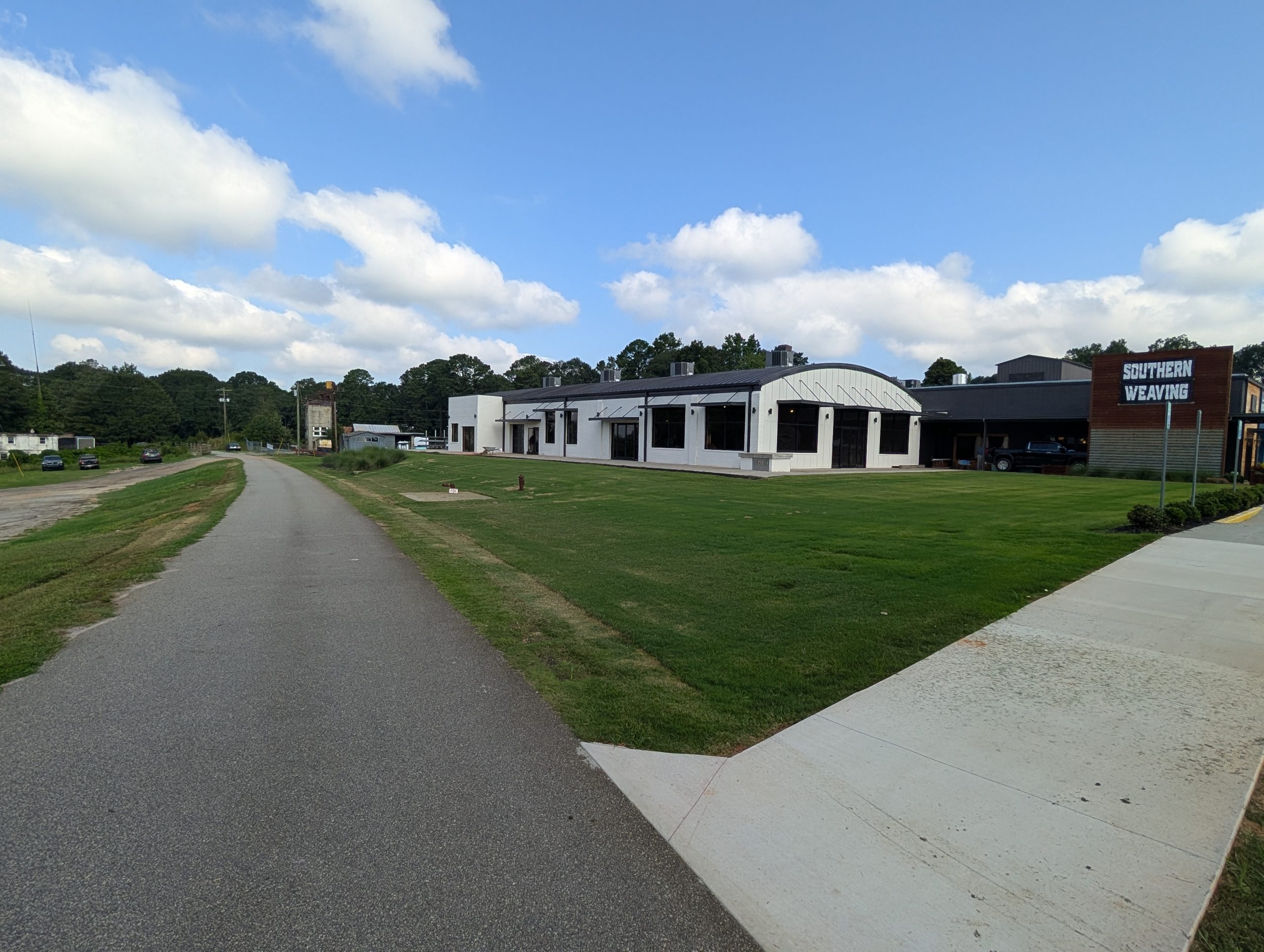
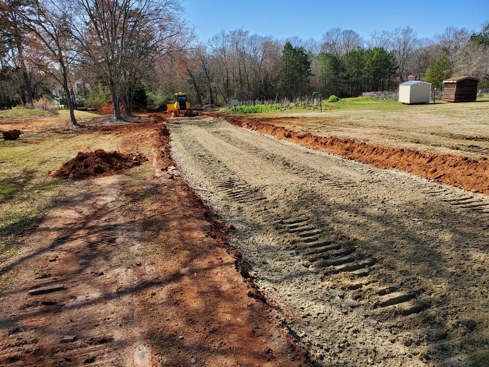
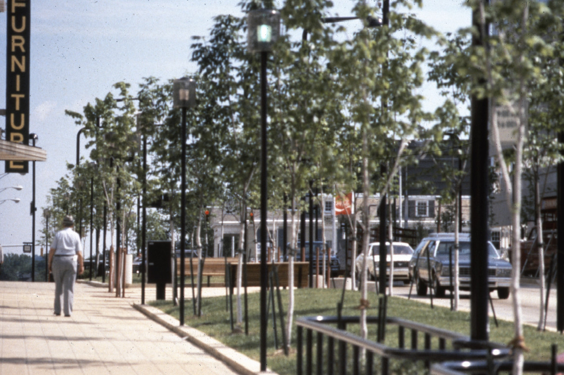
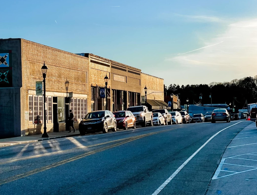
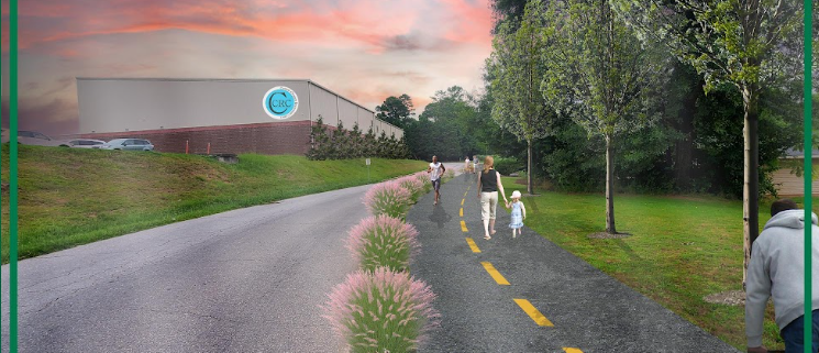
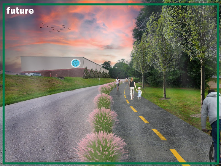
If you’ve driven in Central near Bolick Field recently, you may have noticed a short but unusually wide sidewalk next to Mugshot Coffee — about 585 feet long, 10 feet wide, and not connected to much of anything.
It looks a little random, doesn’t it?
If you’ve ever wondered why it’s there, the backstory helps explain how public trail projects really come together.

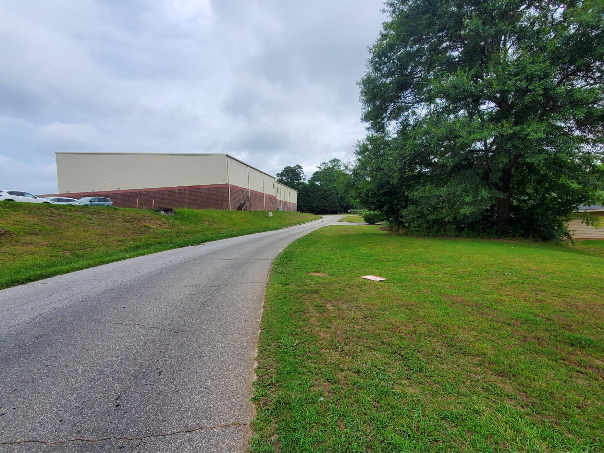
Red arrows point to the “random” 585-foot segment of the Green Crescent Trail near Bolick Field in Central
A Small Segment With a Specific Purpose
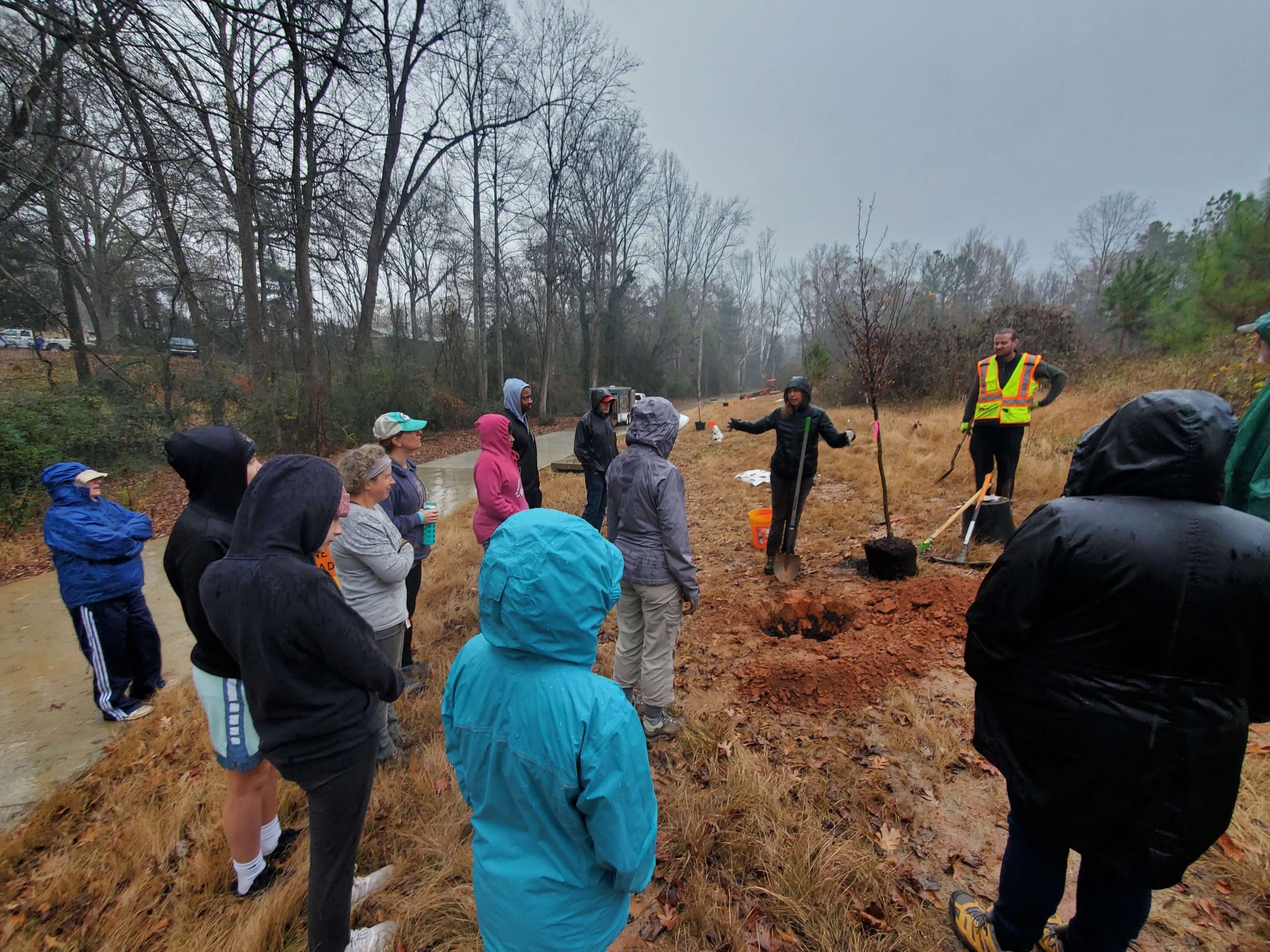
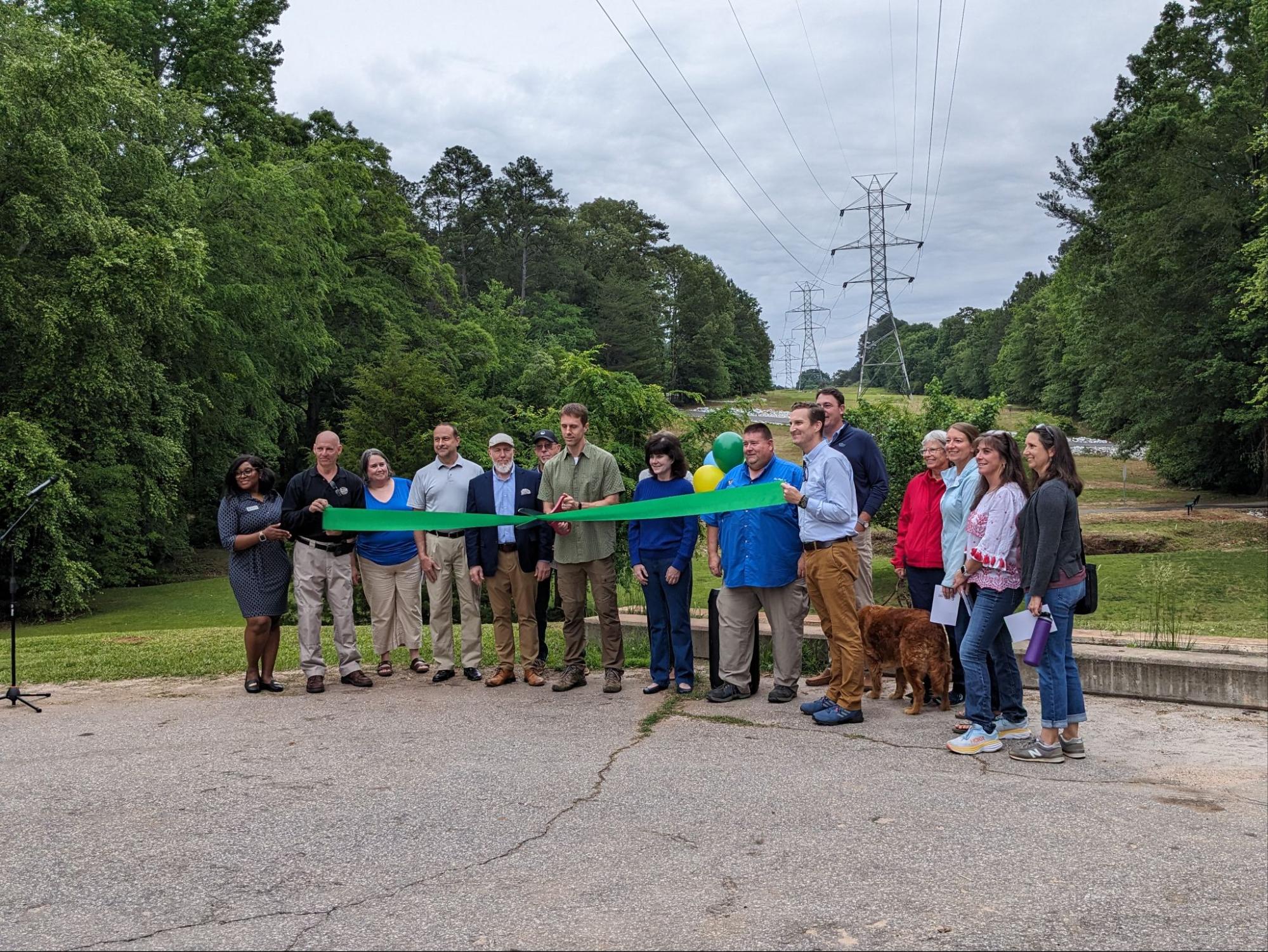
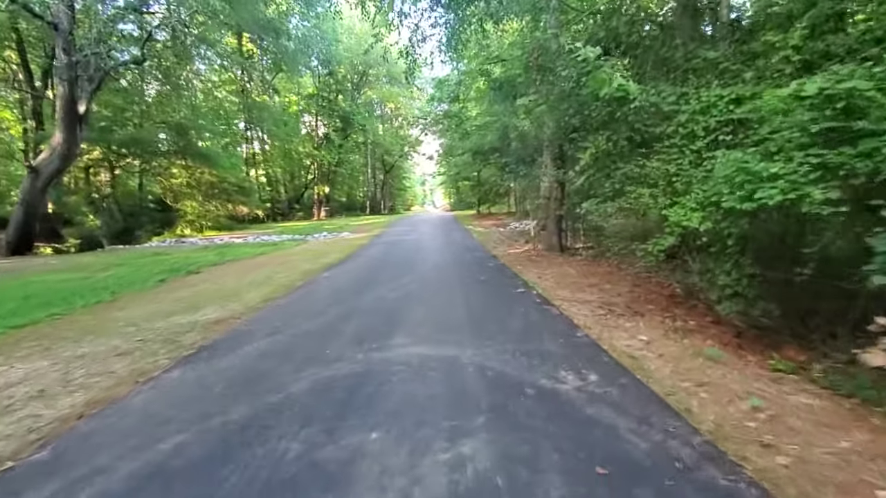
This 585-foot concrete path was completed in summer 2023 by Foothills Contracting for $151,000.
It was funded by:
- $100,000 from the federal Recreational Trails Grant (administered by SCPRT)
- The remainder from the Town of Central
It’s built to full Green Crescent Trail standards — a sturdy, 10-foot-wide off-road path meant to support people walking, biking, and rolling.
So why did this small piece get built years before the rest of the project?
Because This Piece Wasn’t in SCDOT’s Right-of-Way

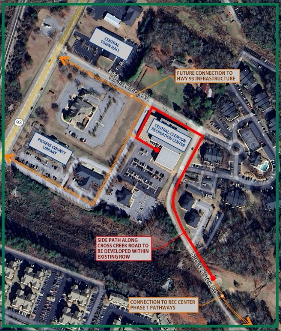
The 585 random trail (can we call it Bolick Curve?) is in green on this map. The yellow lines will be built by the SCDOT in 2026.
The larger downtown-to-SWU trail is being designed and constructed by the South Carolina Department of Transportation.
But this particular 585-foot section sits outside SCDOT’s right-of-way. In practical terms, the state cannot build permanent infrastructure on land it doesn’t control.
For that reason, the SCDOT asked the Town of Central to build it.
And it’s telling that the Town of Central quickly moved ahead and built their piece by summer of 2023.
The SCDOT portion? We’re still waiting.
More on that shortly.
But this situation exposes the messy reality of trail building projects like ours:
- different agencies own different pieces
- grant timelines don’t always align
- some segments are ready to go before others
That’s how you end up with short, isolated parts of larger projects built first.
What’s Coming Next: The Bigger Trail in 2026

Widened sidewalks and a new sidepath will be built along Hwy 93
The remaining portion of the trail along Hwy 93 — from the downtown Caboose to Tarrant Street — is scheduled for SCDOT construction in fall 2026.
When that work happens, this short 585-foot segment will finally connect into something meaningful:
a continuous walking and biking trail running along Hwy 93.
But there’s another part of the story you should know.
Why the Trail Won’t Yet Reach Southern Wesleyan University
When this project first began back in 2016, the vision was to connect:
Downtown Central → All the way into the heart of the SWU campus
The idea was:
- Phase 1 – build the trail to the edge of SWU’s property
- Phase 2 – SWU would then build the final segment onto campus
But over several years, two things happened:
- Long delays in the SCDOT-managed portion
- Leadership changes at SWU, which meant the original connection plan never materialized
By the time SCDOT moved forward with detailed engineering, they did not have an agreed-upon route on to the SWU campus.
And without a confirmed connection point, SCDOT engineers insisted on ending their project at the intersection with Tarrant Street, about 300 feet short of the SWU property line.
So How Will the Trail Reach SWU Now?

The blue lines represent 3 different options that SWU officials and the Town of Central are discussing for a future trail connection
The Town of Central is actively talking with SWU leadership about where the trail should enter campus.
Once there’s an agreed-upon route, that last 300 feet — plus any path through campus — will be built as a Phase 2 project with its own design, funding, and construction timeline.
It’s not ideal that the connection didn’t happen as part of the original project.
But the door is still open, and the conversations are ongoing.
A Realistic Look at Public Projects
This is a messy story that’s still ongoing.
And personally, this was a tough pill to swallow as a trail advocate. I’m frustrated that this long-time project won’t end on SWU’s campus yet.
But it’s also a lesson about the tough reality of trail building, which involves:
- multiple government layers
- strict grant rules
- private property boundaries
- right-of-way limits
- leadership turnovers
- slow-moving timelines
That combination often results in:
- parts of projects built out of order
- temporary gaps
- phases that depend on later partners
- short segments waiting for the rest to catch up
I’m told that unfortunately this is normal — but the details are rarely visible to the public.
So, I wanted to share this story to help set expectations for how and why things are unfolding the way they are.
Where Things Stand Today
Here’s the current, honest status:
- The 585-foot Central section (Bolick Curve) is finished
- The downtown-to-Tarrant Street trail is scheduled for construction in fall 2026
- The connection onto SWU’s campus will be a future phase
- Conversations between the Town and SWU are active
- The long-term goal of reaching campus is still alive
The short segment we see today may not be useful yet, but it’s a piece of a larger puzzle that’s slowly coming together.
The important part is that progress is happening — even if it arrives in small, imperfect steps.
We’ll keep sharing updates on our email list as each piece of the project moves forward.